Mt Philistine summit
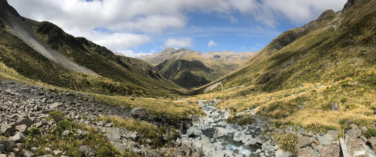
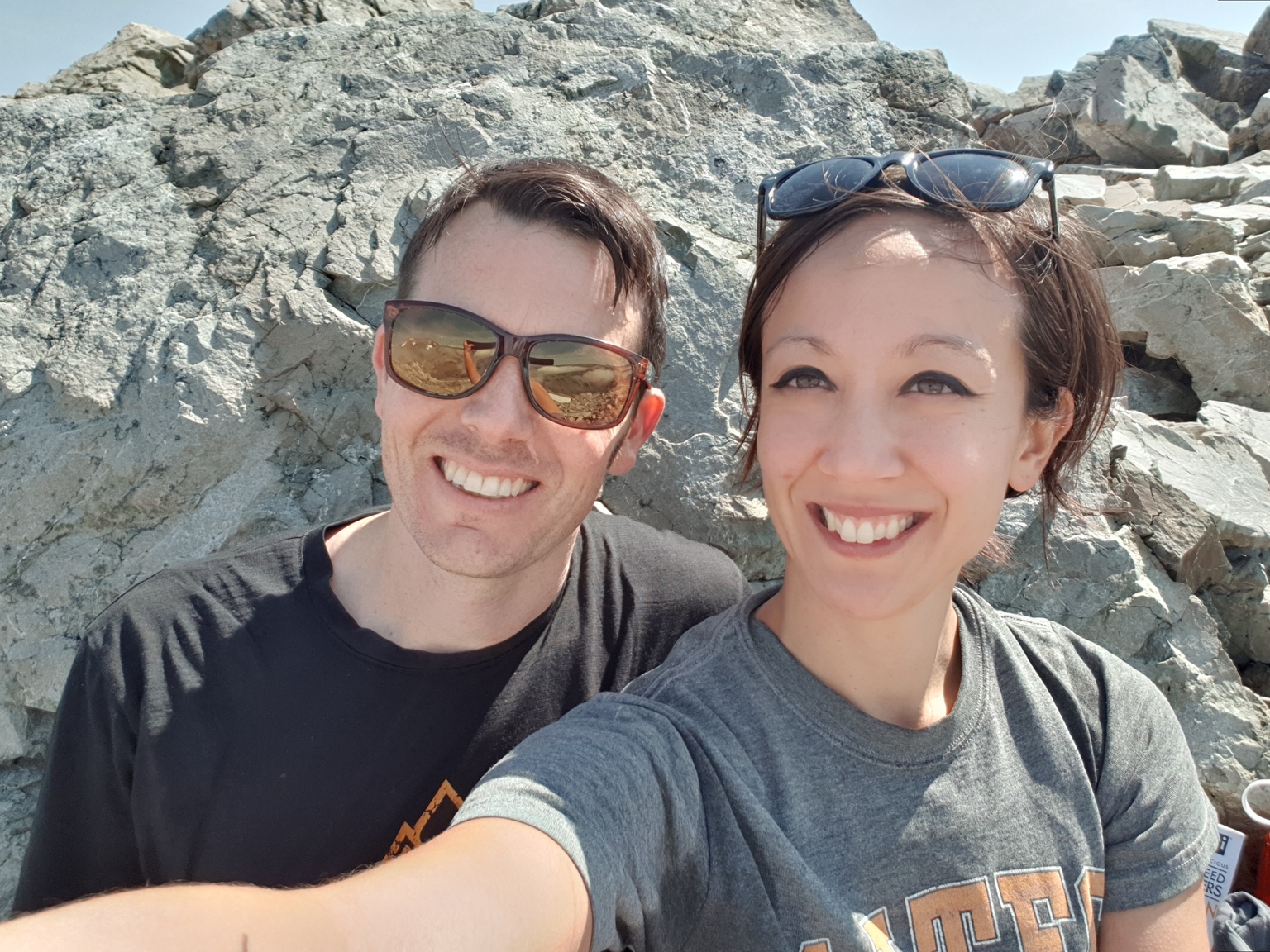
Mt Philistine summit (1967m) is a lesser travelled day hike in the Arthur’s Pass National Park. Alex and I tackled this summit with my cousin Aric and his wife Delphine, who were visiting us from Portland, Oregon. We had stayed nearby in Otira the night before and after breakfast in Arthur’s Pass we started just before 9am. The first 30 minutes was an easy stroll along a well worn path up the Otira valley to the Otira valley footbridge which crosses on to the true left of the valley.
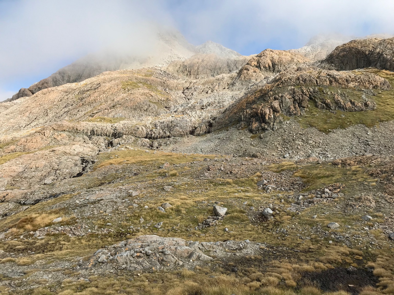
From here the route follows a faint trail up the rock fields and scree to the base of the Warnock bluffs.
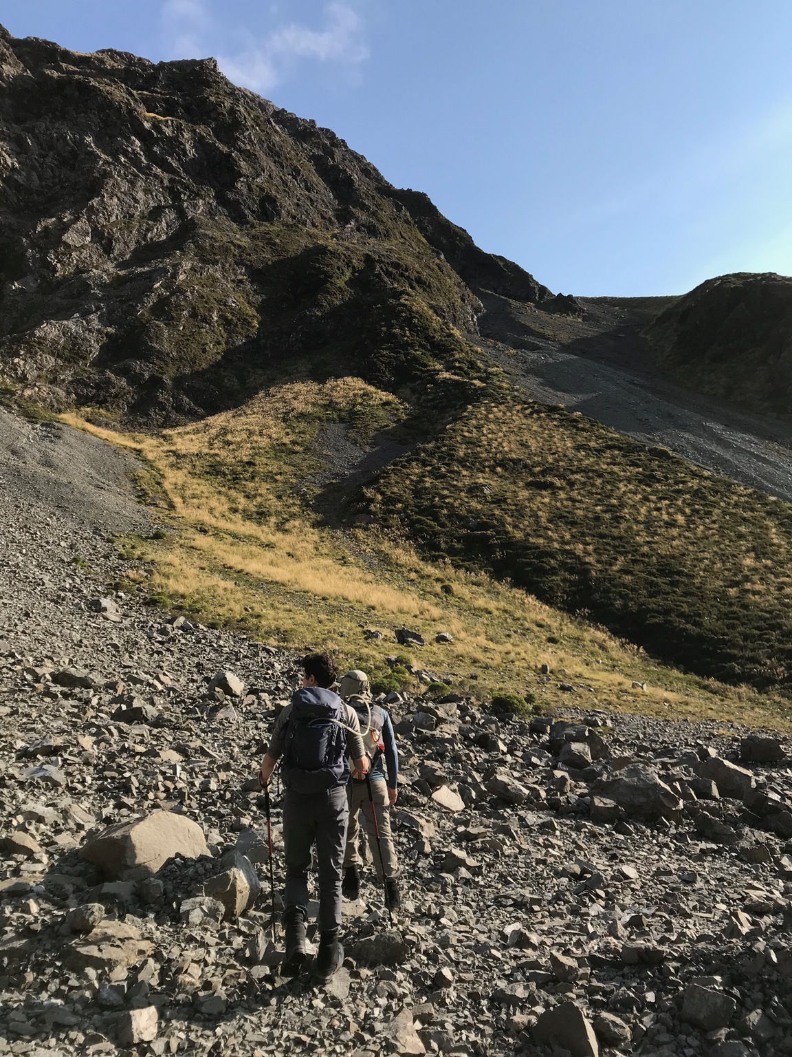
The Warnock bluffs are the steepest section of the climb, but the route is quite clear and on a fine summer day - as it was for us - they are easily navigated. Even so, a misstep could be very costly and we took care, especially not to knock loose rocks down onto our companions. It is easy to see how a number of deaths have occurred by slipping and falling from these bluffs, especially in icy and/or low visibility conditions.
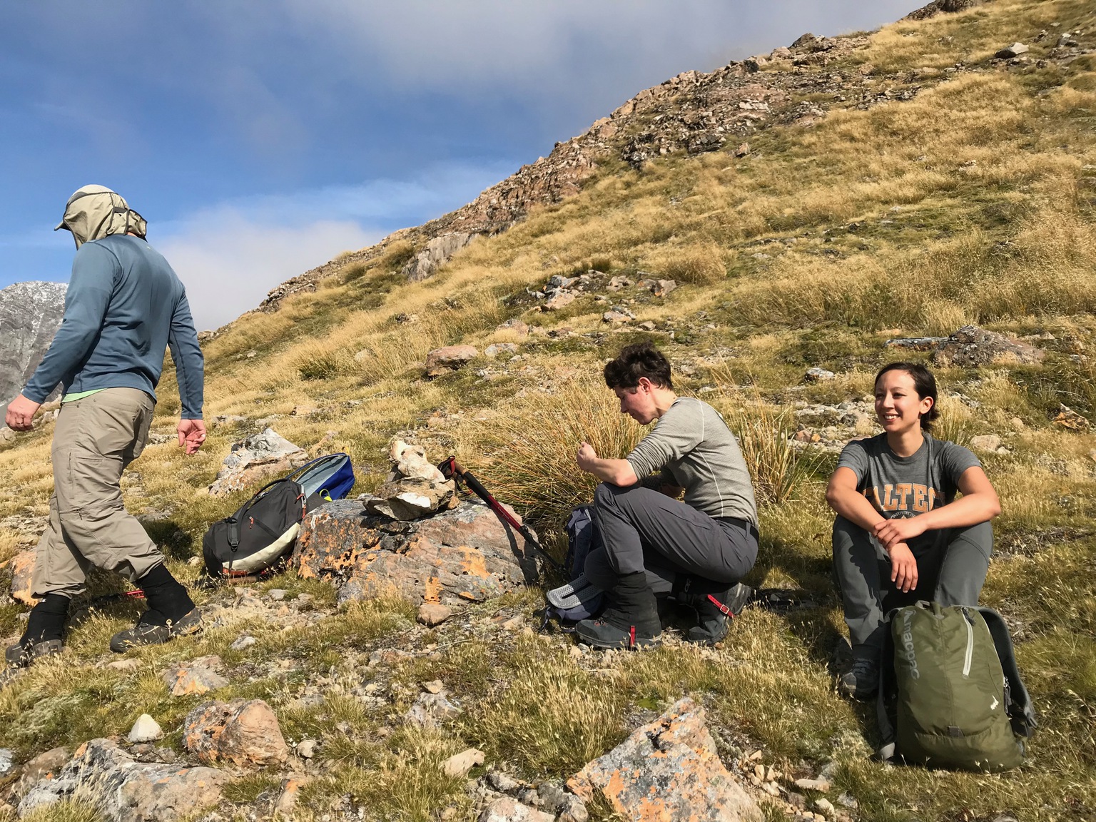
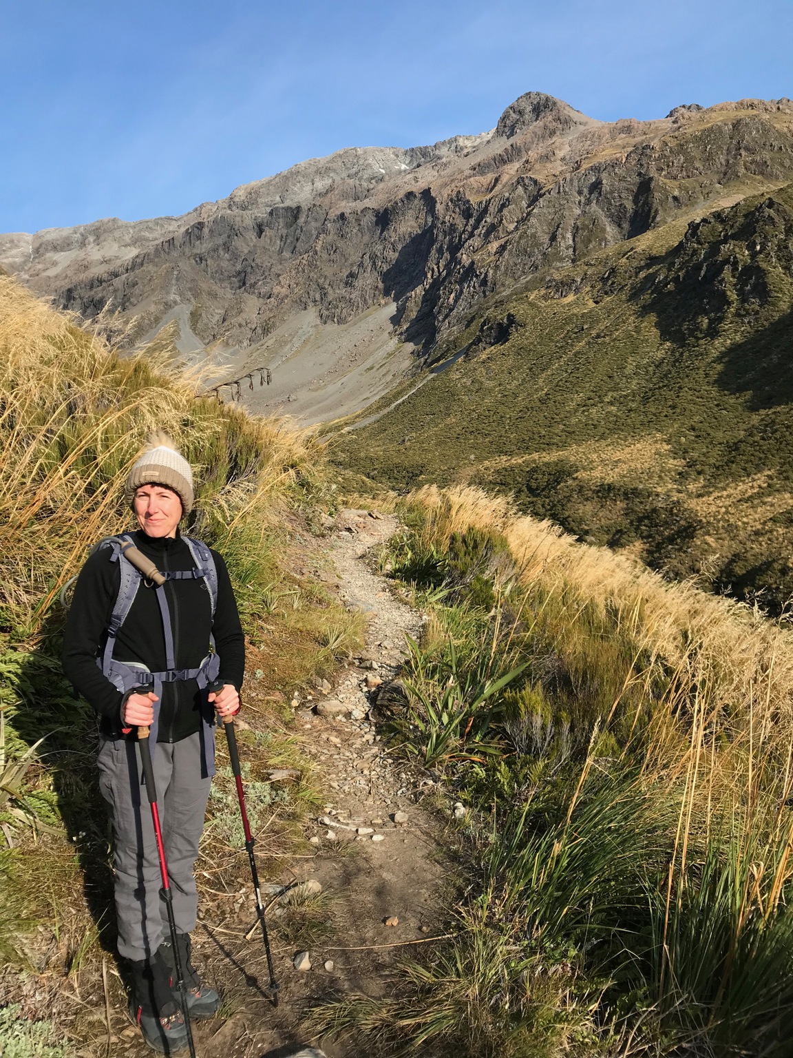
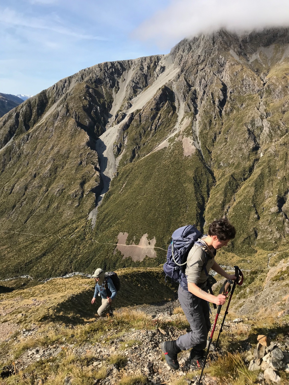
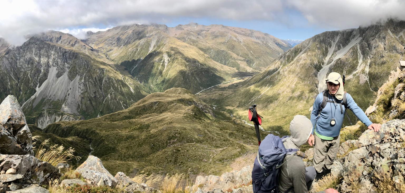
At the top of the Warnock bluffs a large cairn confirmed our navigational prowess. We stopped for a short morning tea in a pleasant high meadow before pressing on. After carrying on up the lumpy and undulating slope past some small tarns we quickly found ourselves in some navigational uncertainty. The east ridge had come into view above a small buttress but without spotting any cairns we eventually decided to navigate the buttress on its right margin (looking up the slope).
Above this we again picked up some cairns. However they didn’t continue up the slope from the base of the east ridge and we were left uncertain whether to climb the ridge directly or carry on up the rock and scree slope behind the ridge. After some investigation up onto the ridge we decided that the rock and scree looked the better option. The rock fields would have been completely snow-covered in winter and quite nice going with the appropriate equipment, but in summer there was just a small patch of snow that was easily skirted.
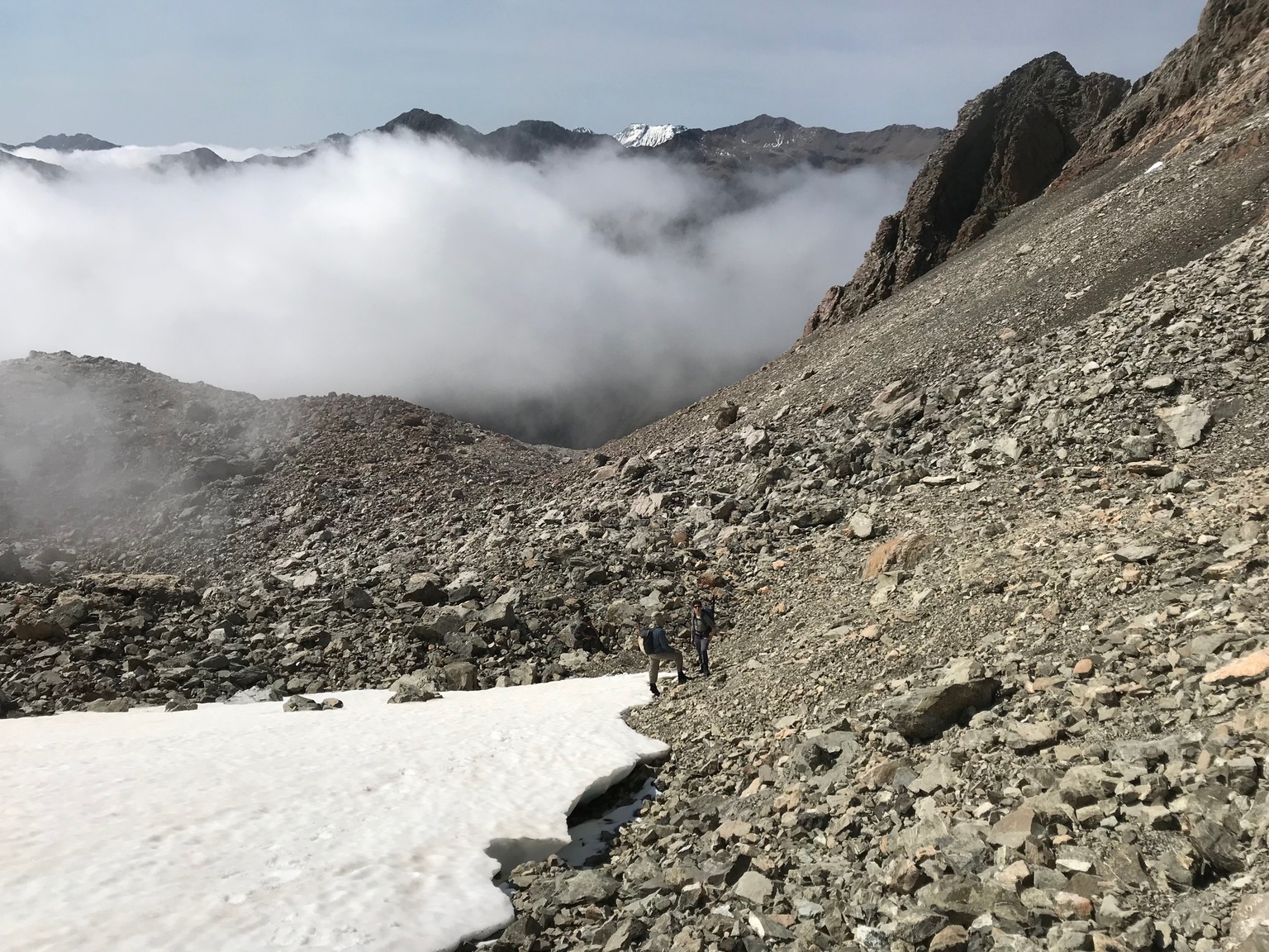
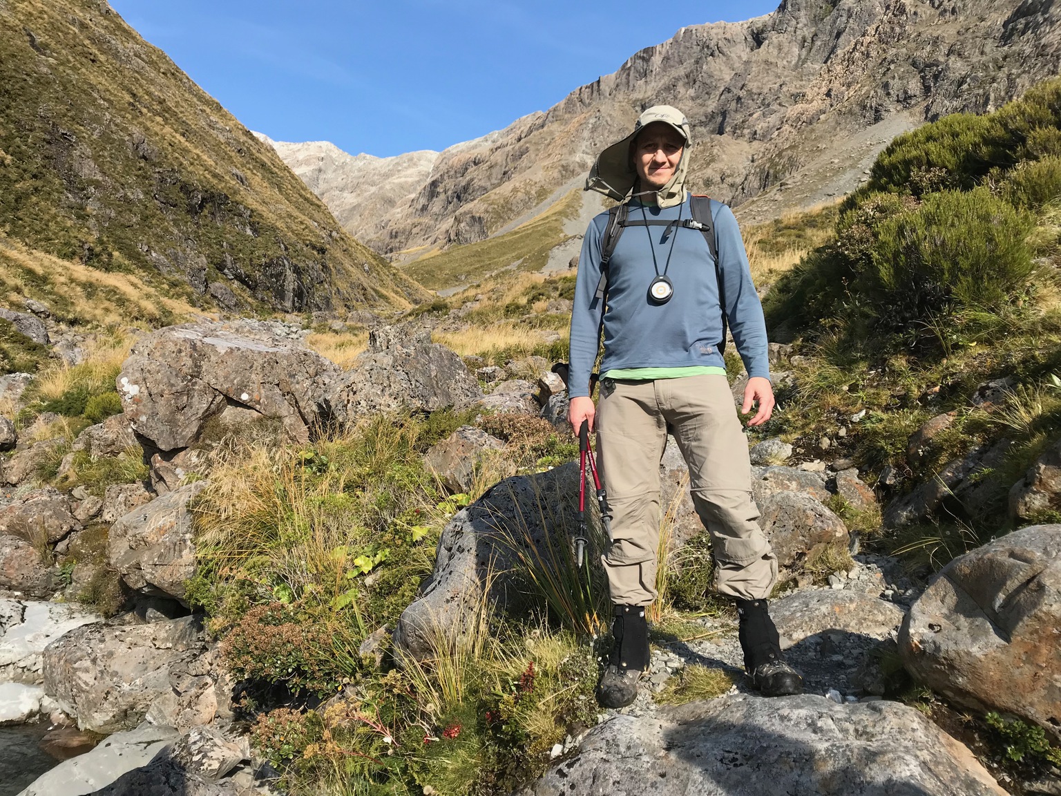
The terrain required some care and even large rocks were disturbingly loose on occasion, but overall the going was good.
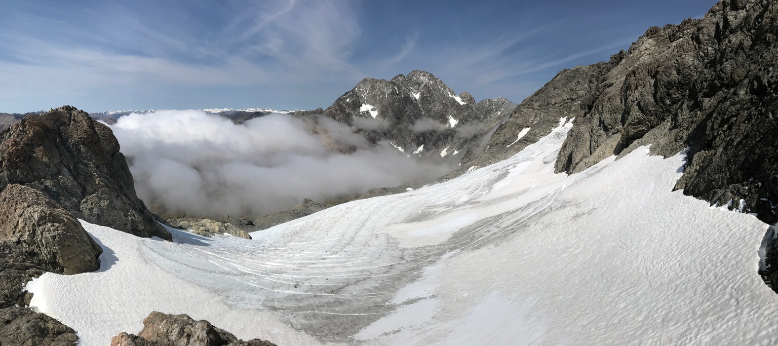
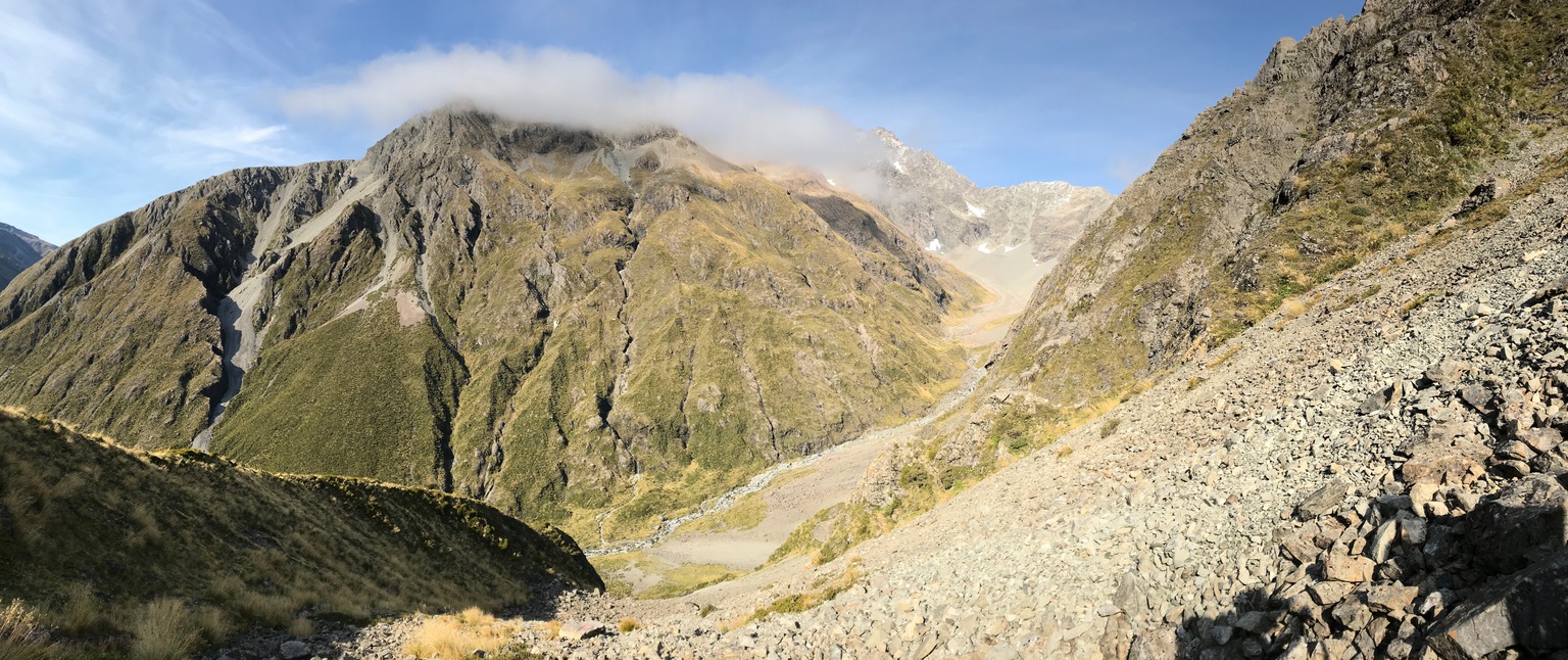
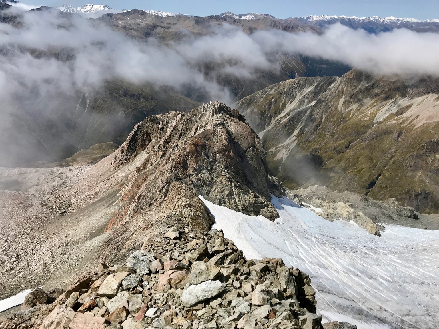
Keeping the east ridge close on our left, a gap eventually appeared, revealing a view down to Rolleston glacier below Mt Philistine’s peak, and to Mt Rolleston itself across the upper Otira valley. This was the point at which we moved back onto mostly solid rock for the final scramble, which was steep but easy going to the top.
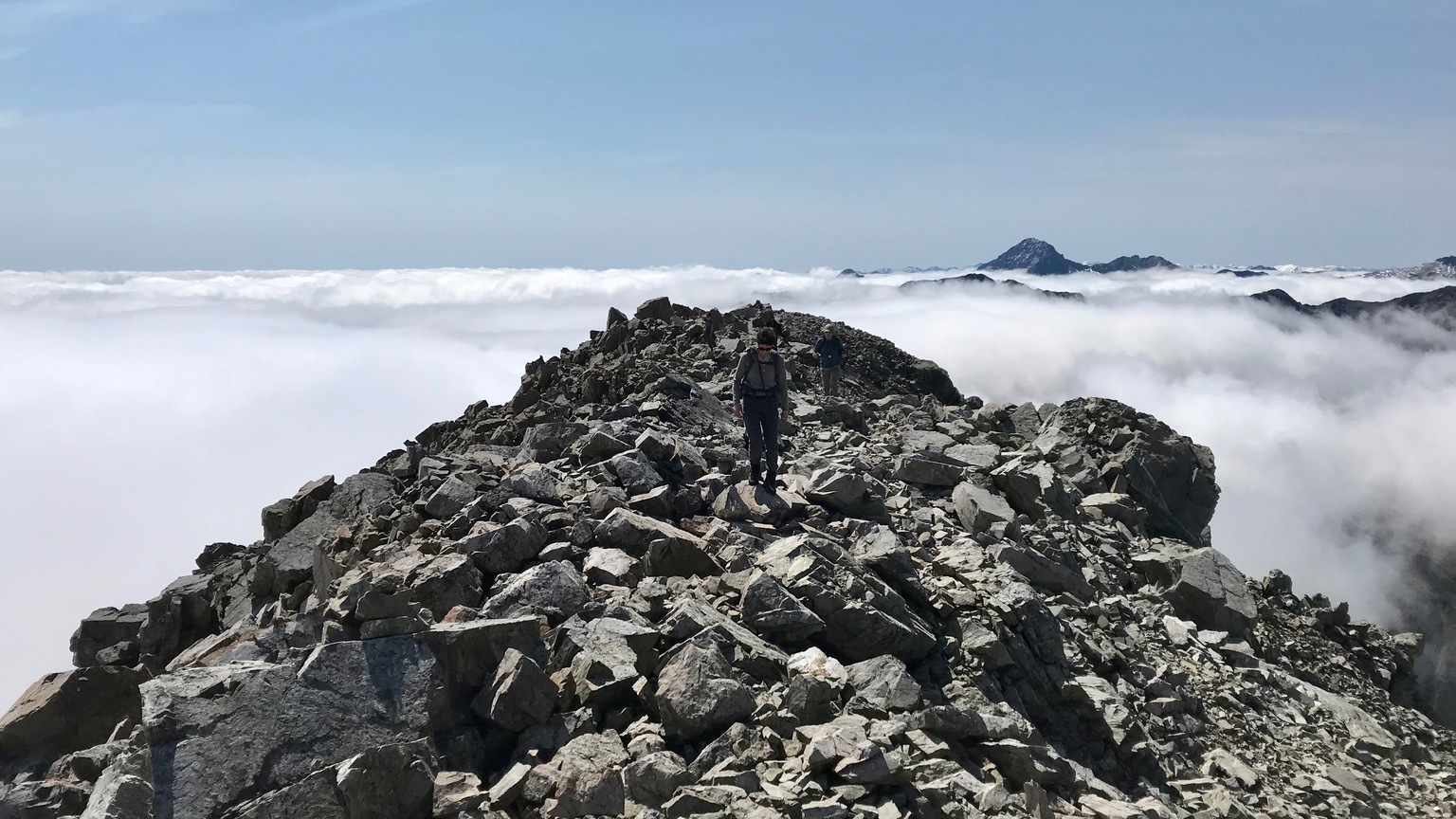
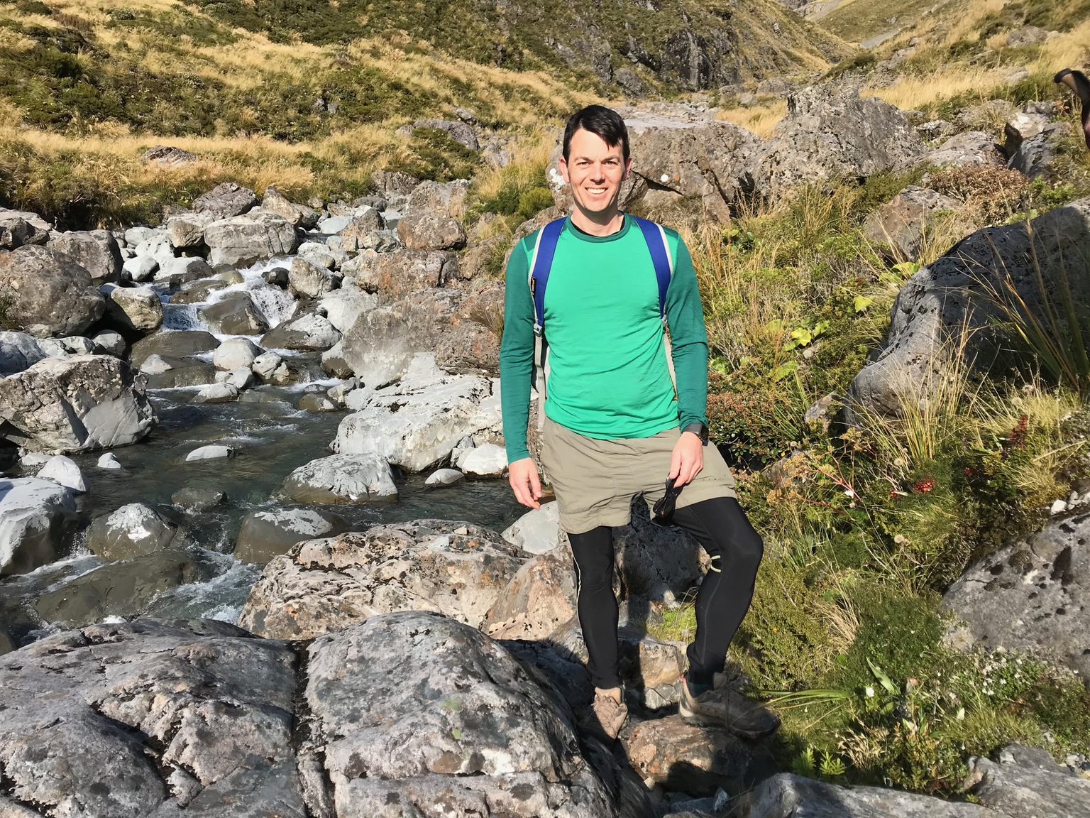
After a nice lunch break on the summit tucked down out of the wind but still with a view of the glacier and Mt Rolleston we began our descent at about 12:50pm. The return trip was much easier navigationally, and we returned along a slightly better line with the benefit of the descending view.
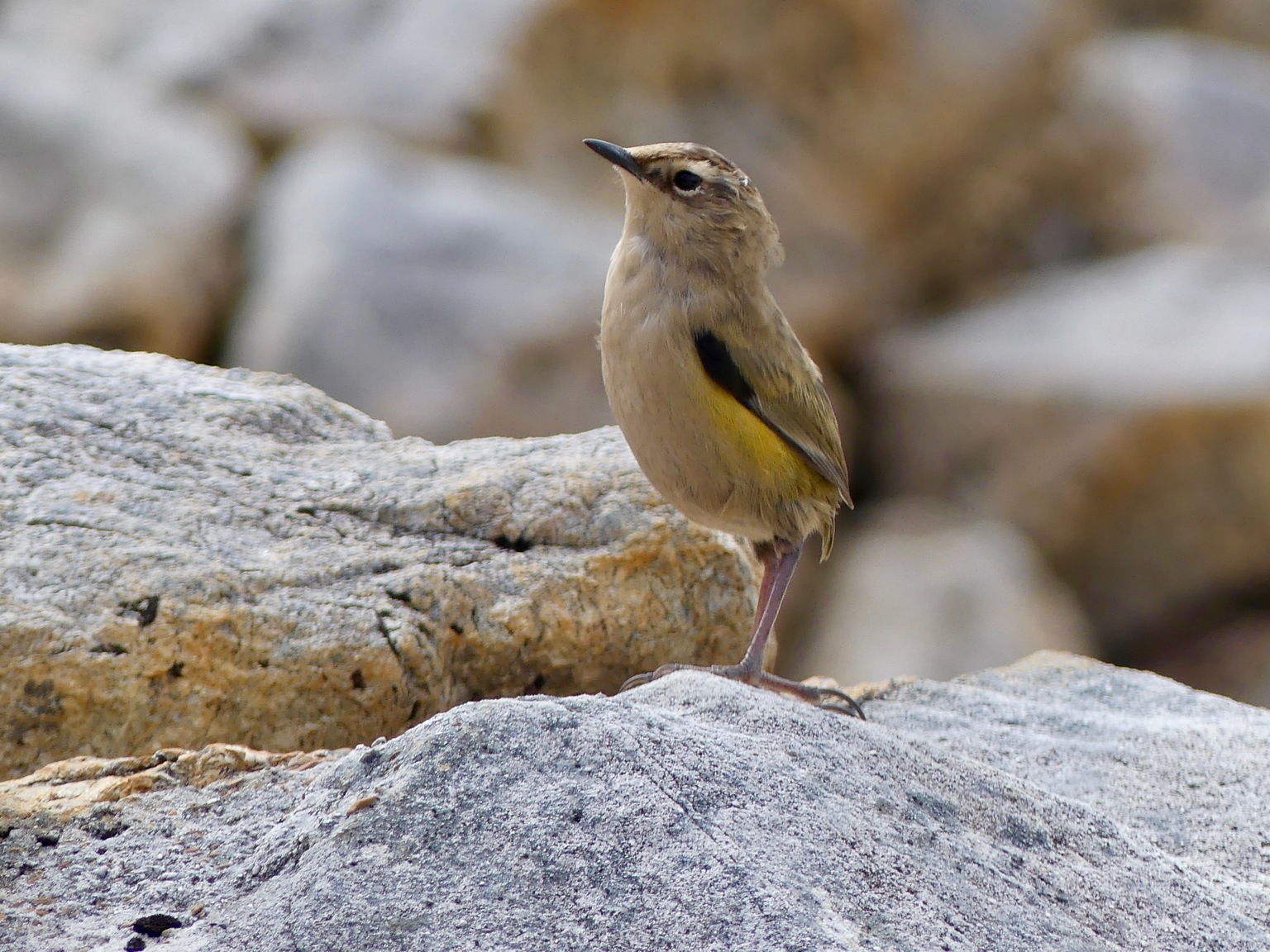
At the base of the east ridge buttress we were delighted to stop long enough to notice a pair of Rock wrens. The male kept a safe distance but the female got close enough that we could take a few decent photos of her as she hopped around us on the rocks.
The wind picked up a little and the clouds started to close in behind us as we descended from the summit. But we kept visibility ahead of us, which I was grateful for as we went down the Warnock bluffs.
From the bottom of Warnock bluffs the return was an easy stroll and we were back at the car by 3:45pm.