Running the Tongariro alpine crossing
April 1st 2017 will be remembered for an amazing day running among the volcanic mountains of the Central plateau :)
This was a field trip planned by the Waiheke Harriers to run the Tongariro alpine crossing - an iconic 19.4km mountain pass under the watchful eyes of two volcanoes (Mt Ngaruhoe and Mt Tongariro) in the central plateau of the North island of New Zealand.
Most of the crew stayed at Gary Brown’s farm homestead the night before, and apparently had a bloody good time – no surprises! Alex and I stayed in the Skotel in Whakapapa village at the base of nearby Mt Ruapehu and had our own good time dining at the Grand Chateau. Sadly Alex had to skip the alpine run itself as she is still recovering from her knee surgery.
We met with everybody else at 9am at Mangatepopo carpark (elevation 1120m), where the trail starts. the carpark was already overflowing with cars and crowds of day hikers were clustered around the toilet block and shelters in various states of getting prepared. According to my GPS watch we eventually started the run at 9:18:43am.
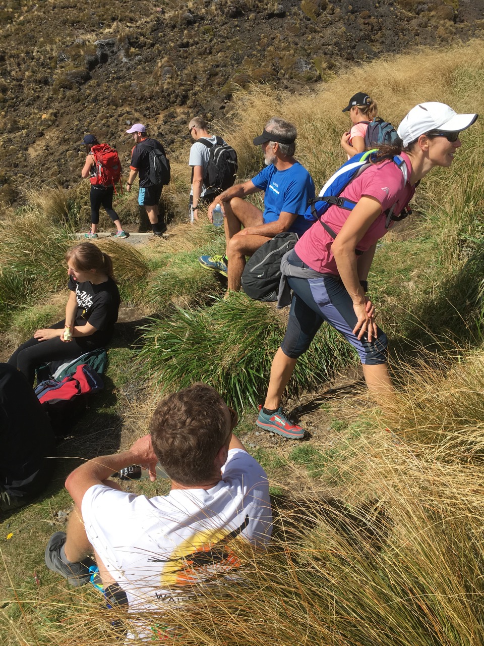
The track was crowded but Gary Wilton was at the front of our group warning the day hikers that our group of six runners were “coming through”. Generally the crowds were in very good spirits on a gorgeous fine morning and most moved to the side with a smile as we came through. At one point a group of younger hikers even attempted to run along with us for a few hundred metres, before pulling up and laughing. We made good progress and I attained the top of Devil’s staircase in 55 minutes (6.2km and 530m elevation gain).
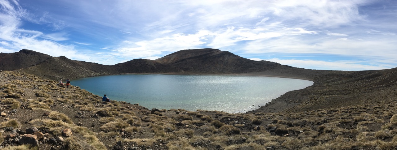
There we spent a couple of minutes regrouping before setting off across the South crater and attaining the opposite ridge in another 10 minutes or so. We had another few minutes break there for water and photos. I took some panoramas across the South crater to Mt Ngaruhoe.
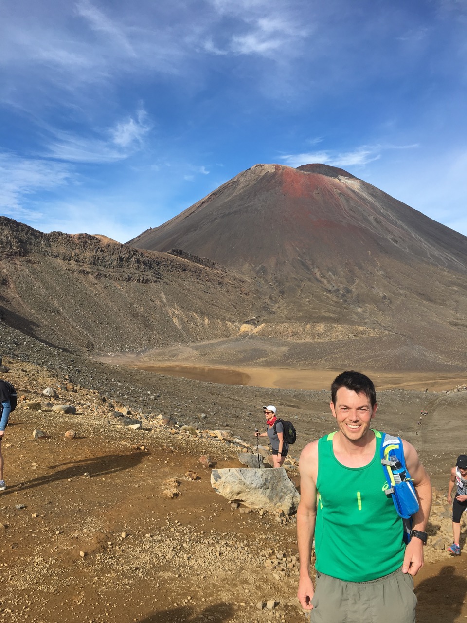
One we had again regrouped we headed up the steep ridge towards Red crater. The end of kilometre 8 is just shy of the high point of the crossing proper and also where the turnoff to the summit path leads 1.7km to Mt Tongariro summit.
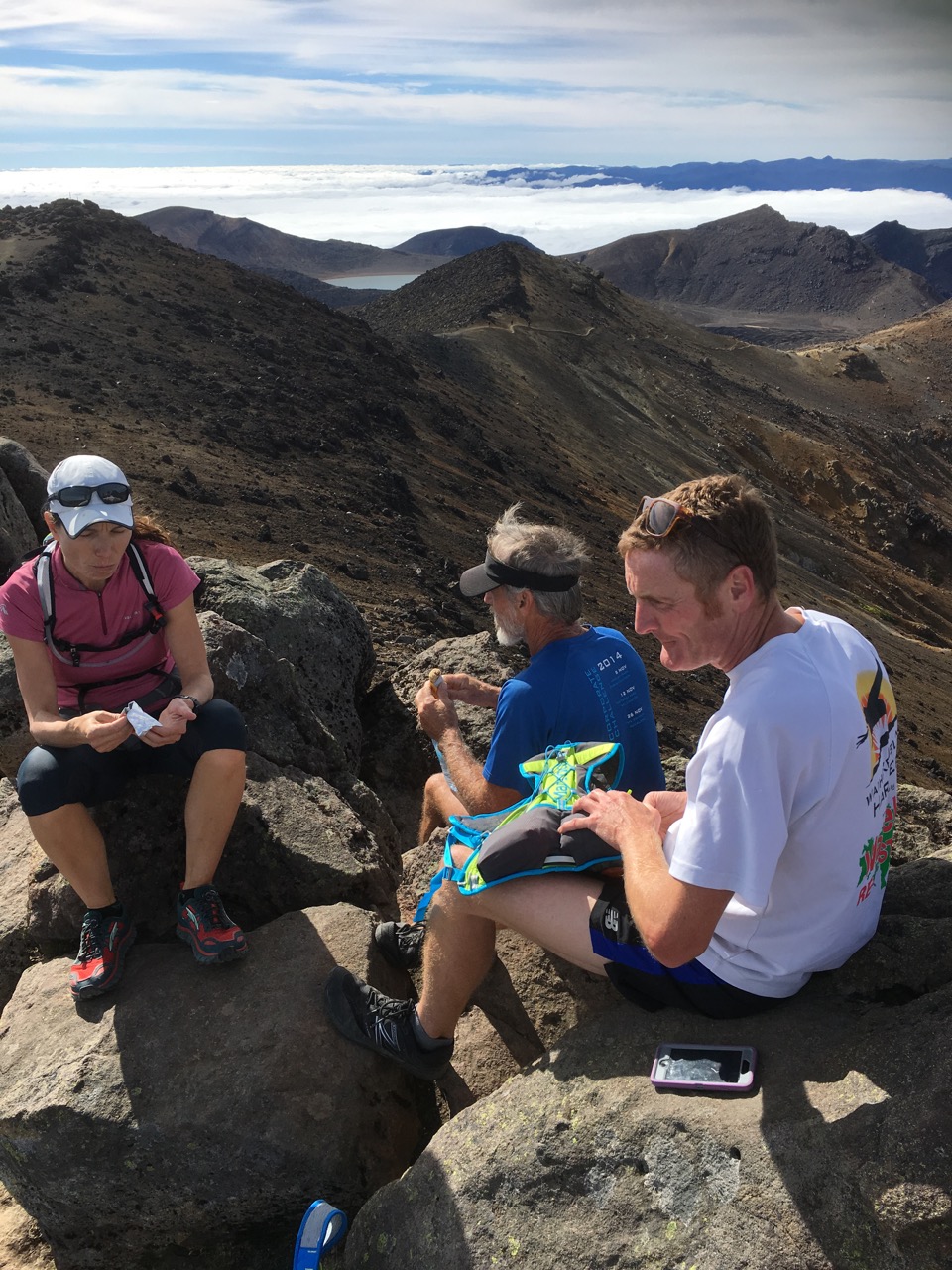
I was feeling euphoric and determined to use the opportunity to bag the Mt Tongariro peak (1978m) as part of the run. I convinced almost the whole troop and we duly set off along the summit path. The peak seemed like a perfect place to stop for a short lunch break. The views were fantastic as was the feeling of kinship-in-crazy-actions. I was already quite knackered from pushing too hard but I was very happy. We had got to the peak in 1h30m of running and under 1:45 including a couple of stops.
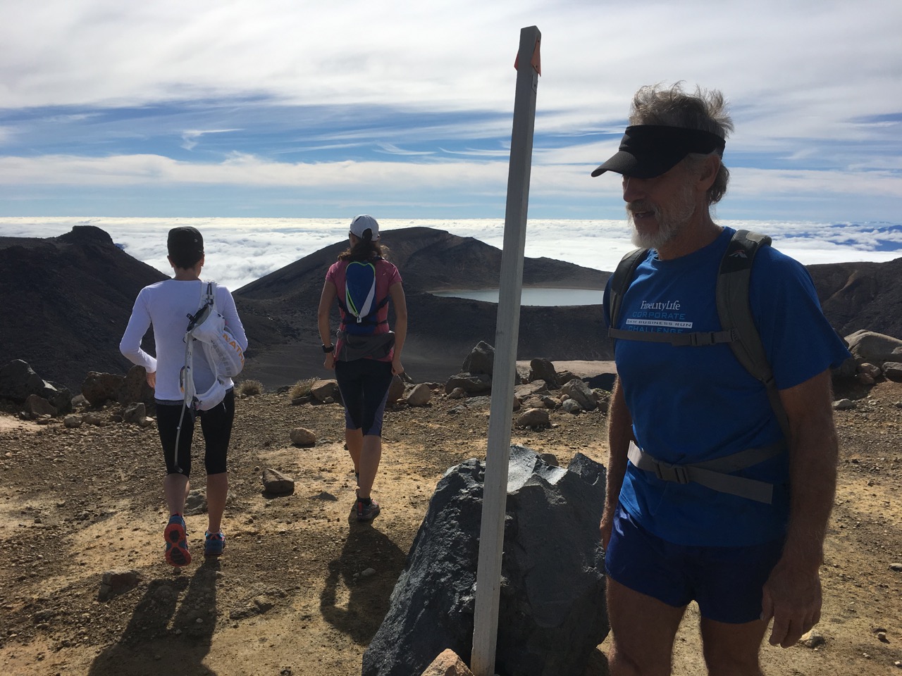
We picked up Wendy half way down the summit path and got a gorgeous sneak peek at what was in store for us for the second half of the run.
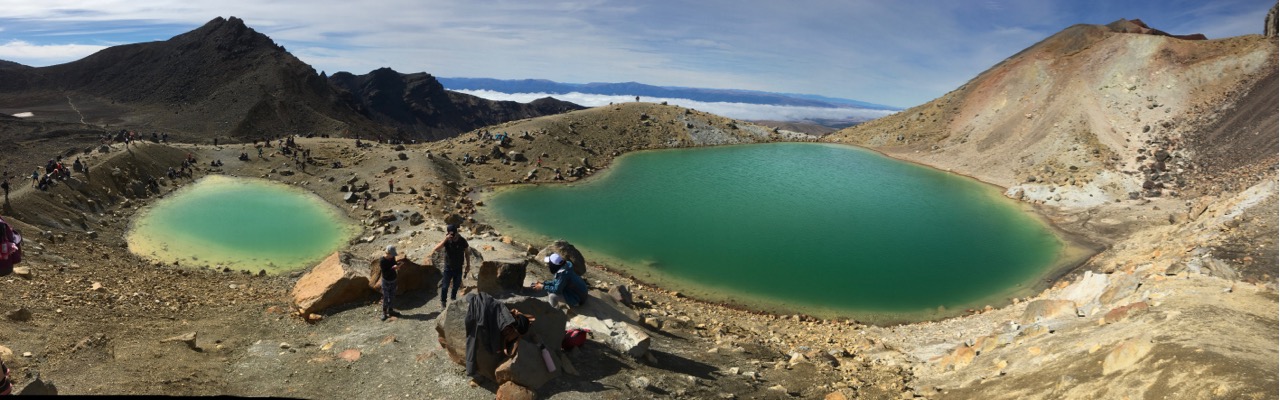
The remainder of the run was absolutely gorgeous, including the red crater, the emerald lakes, the blue lake and a brief stop for drinks and fuel at Ketetahi hut. The trail running down this side of the crossing has some long and flowing stretches and you can get lost in your thoughts as you give up the elevation with the wind in your face.
The total distance run was 23km (including the 3.5km summit detour). The running time was almost exactly 3hrs. My actual elapsed time for the whole trip was 3:49:07, having arrived at Ketetahi carpark at 13:07:50. This has been a favourite day hike for me since I first hiked it as a teenager. But this was the first time I had run it. If I was trying to go as fast as I could, I think an elapsed time of around 3hr would be achievable, but it wouldn’t be nearly as enjoyable as this day was.
What a beautiful day in the mountains with a beautiful bunch of people!