Ausserberg - Baltschiederklause - Eggerberg
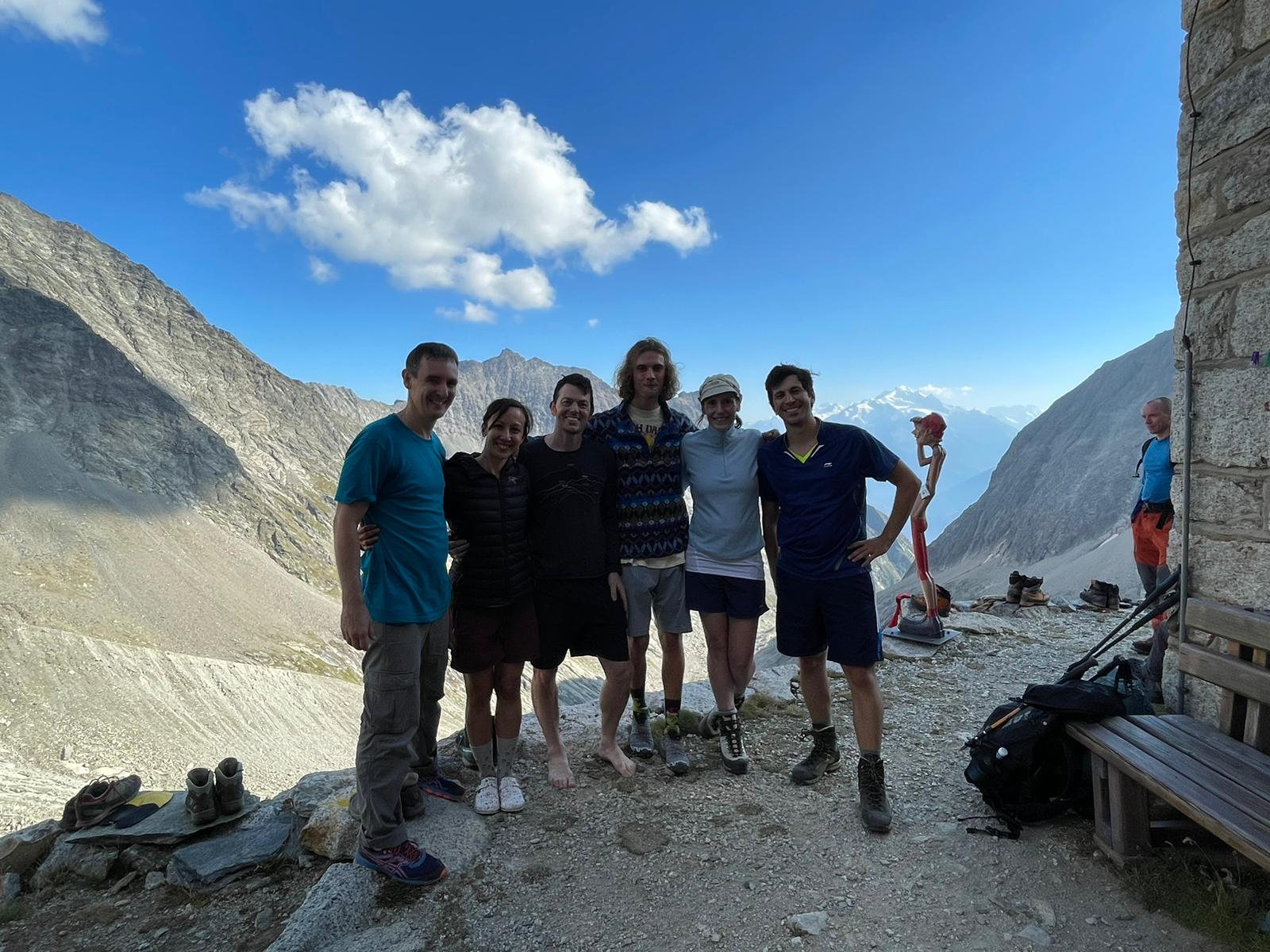
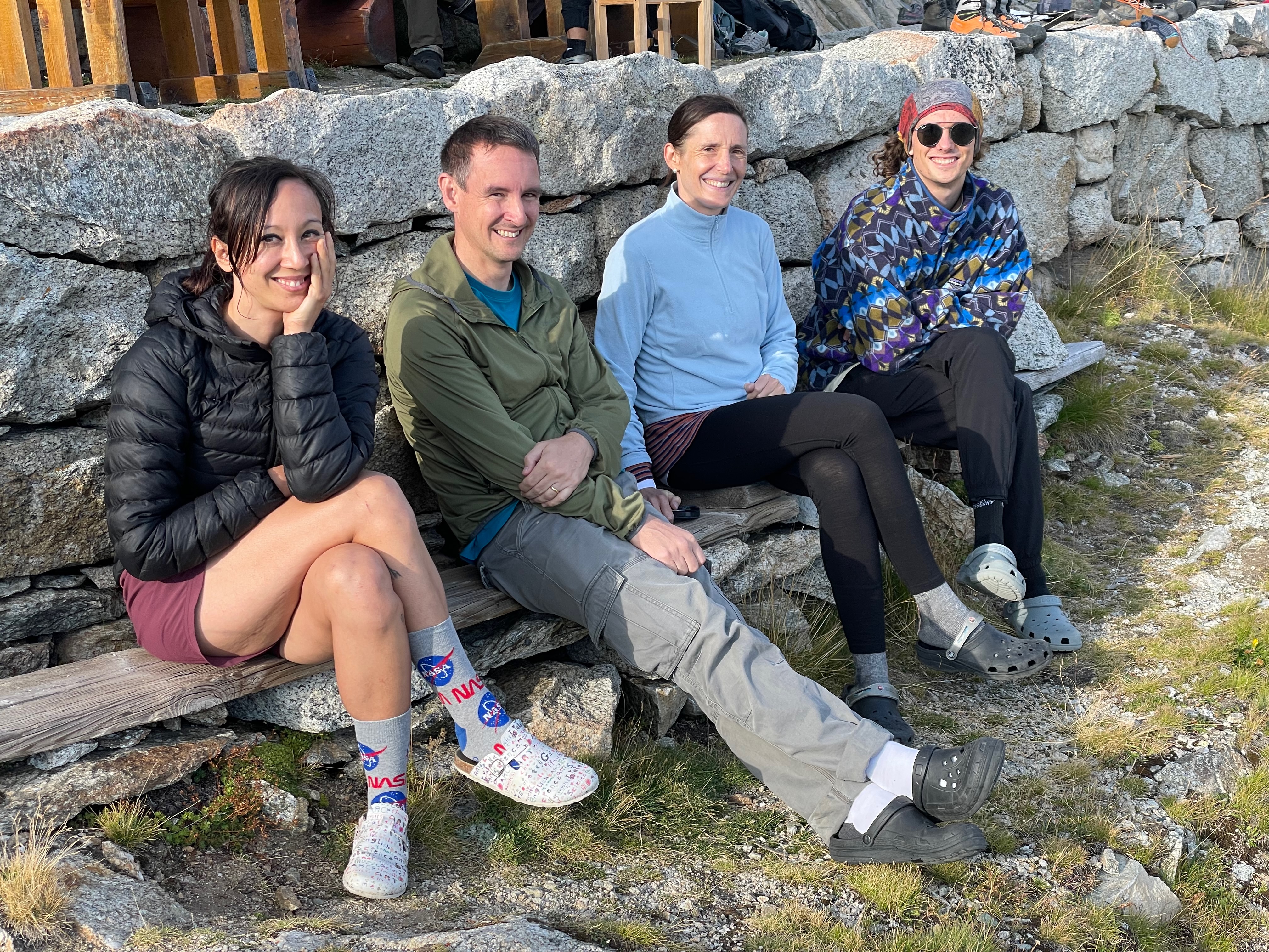
Another trip to Switzerland, another epic overnight hike in the Alps. This time we tackled the long approach to Baltschiederklause (2783m) from Ausserberg. The team was Tanja Stadler, Tim Vaughan, Alex, myself and two PhD students from Tanja’s lab (Marcus and Alex). The early morning start from Basel involved catching a 6:03am train which after a couple of connections delivered us to Ausserberg train station (~900m) about 3 hours later.
We had decided on an early approach because the first day called for about 1900m of ascent over about 17km. The first few kilometres ascended through the outskirts of Ausserberg village on cute little roads with no traffic and a pleasant temperature. We knew that the day would heat up, but I was hoping that we would be able to climb away from the heat throughout the day.
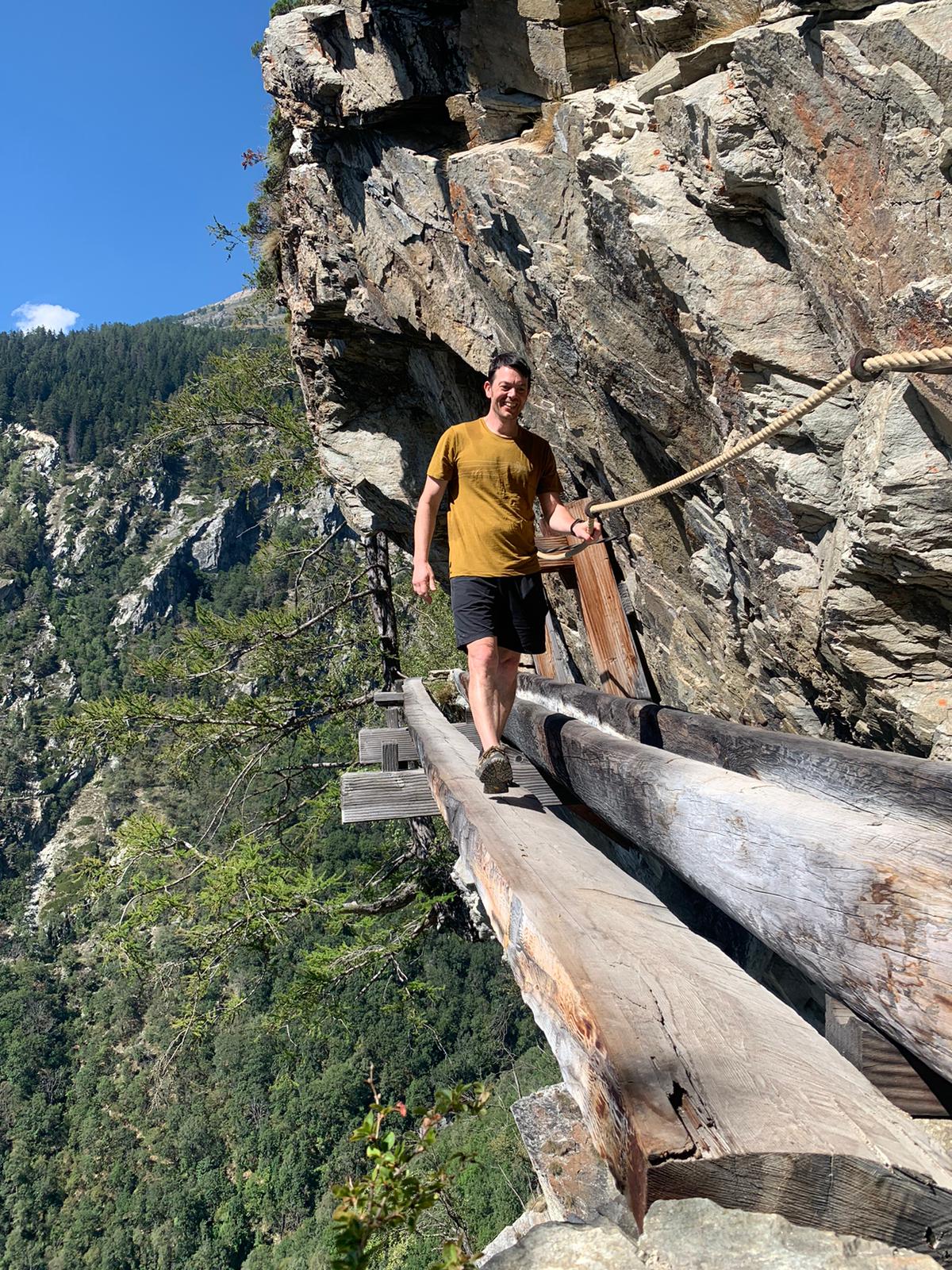
At the end of the road the obligatory hiking started with a choice: the tunnel, or a T4 section traversing steep terrain. Amongst our contingent there were fans of both options, but in the end it was decided by a discovery that the T4 section was officially closed for repairs and not currently as safe as a T4 designation would suggest. Although some of us were disappointed, the tunnel turned out to be quite unique.
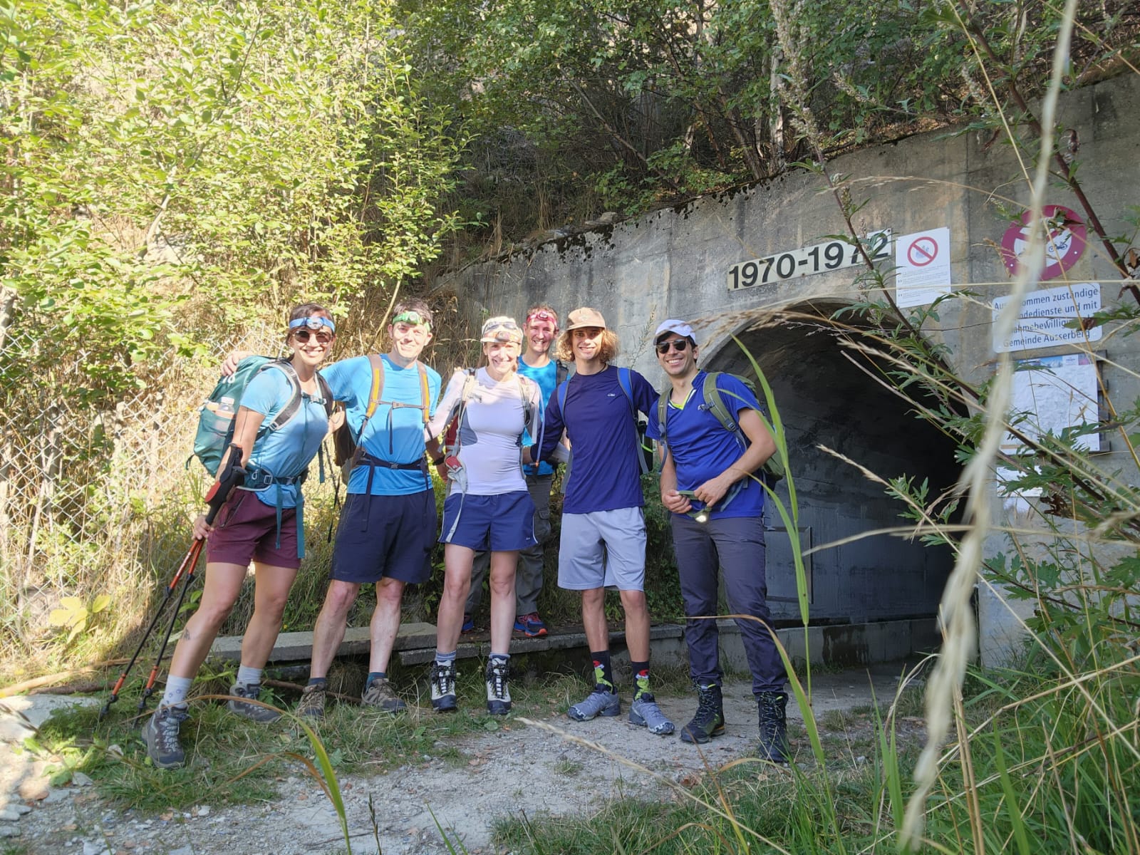
We had known we might need to take this option, so we were prepared with head torches. We needed them. The tunnel was dead straight but a full 2km long! The walking was single-file walking with ample head-room. In some sections the walls were natural stone with quartz seams and in other sections sprayed with concrete to prevent any loose rocks from falling. One side of the tunnel was occupied by a “suone”, a channel of glacial river water that is part of an old irrigation system to bring water to the sunny arid slopes of Ausserberg and surrounds. These “suone” (or “bisse” in French) have been used for centuries in the Valais region of Switzerland to provide irrigation to high villages that don’t have closer reliable sources of water.
Beyond the tunnel the hike progressed gradually through green farmland nestled in the steep-sided valley with jagged, barren alpine ridges beckoning us forward in the distance.
Shortly we passing through a camp ground complete with benches, tables and plenty of shade. However it was not yet lunch time so we pressed on, crossing the river to the true left side and continuing on up the valley. It was around this time that I recalled what a couple of passing mountaineers had told us: the blueberries are excellent in this valley but don’t start eating them until you are beyond the large bridge, as there are donkeys up to that point. I was looking forward to eating blueberries but soon after this thought crossed my mind we spotted the donkeys ahead of us, and realised we were not yet above the donkey line.
By this time it was approaching noon and the day had heated up very significantly. There were few trees left and as the sun started to beat down on us in a rather unseasonal manner we started to worry about finding some shade for lunch. It was about this point where we passed some stunning slabs. Unfortunately I didn’t have time to check if there were any bolted routes :)