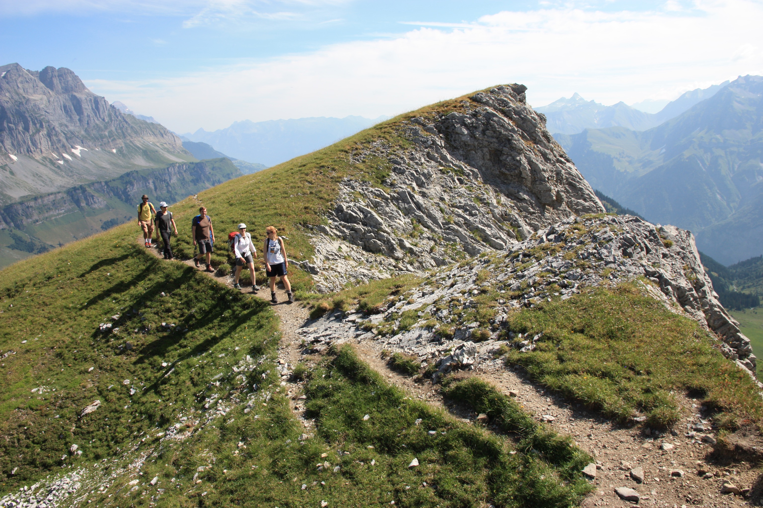
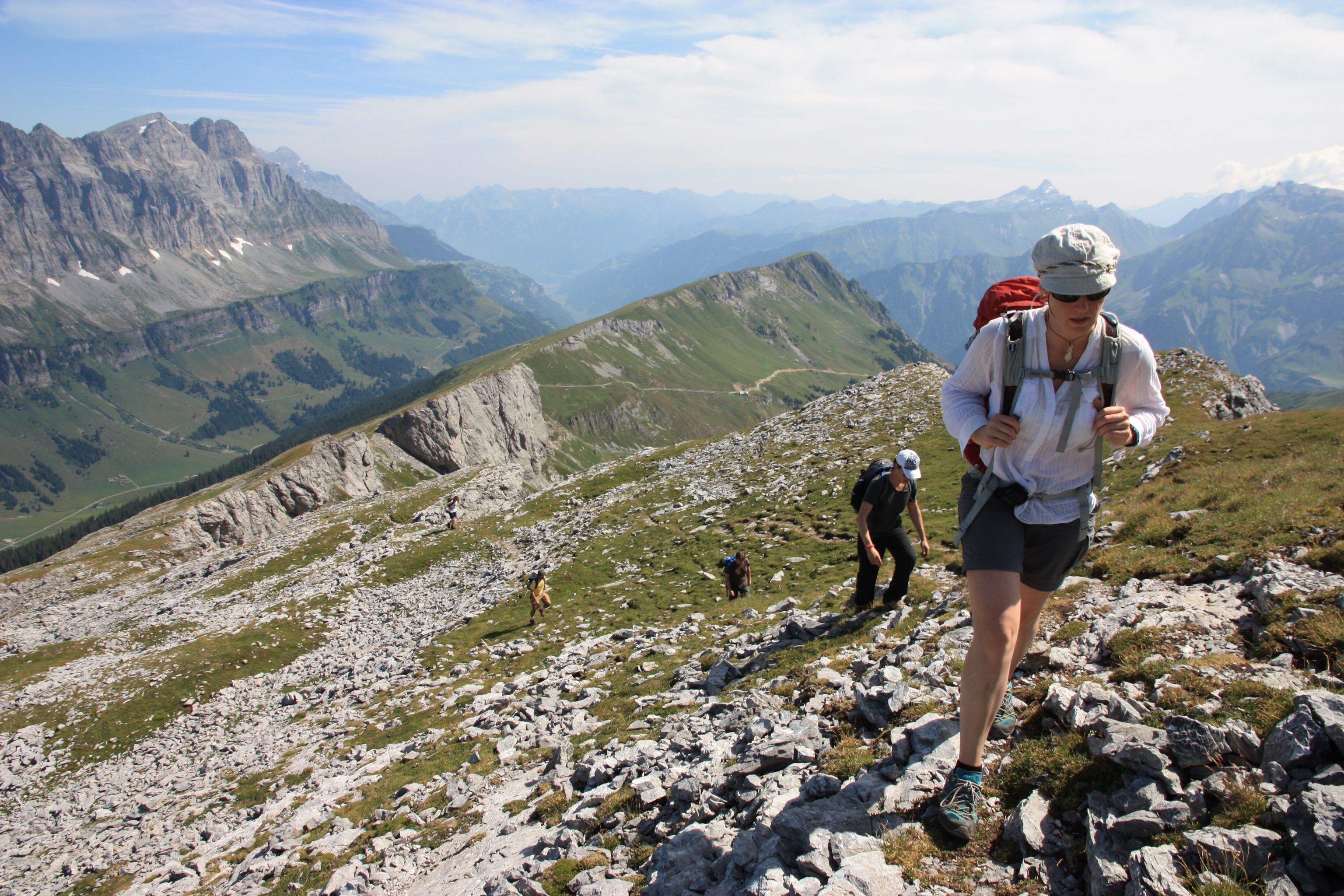
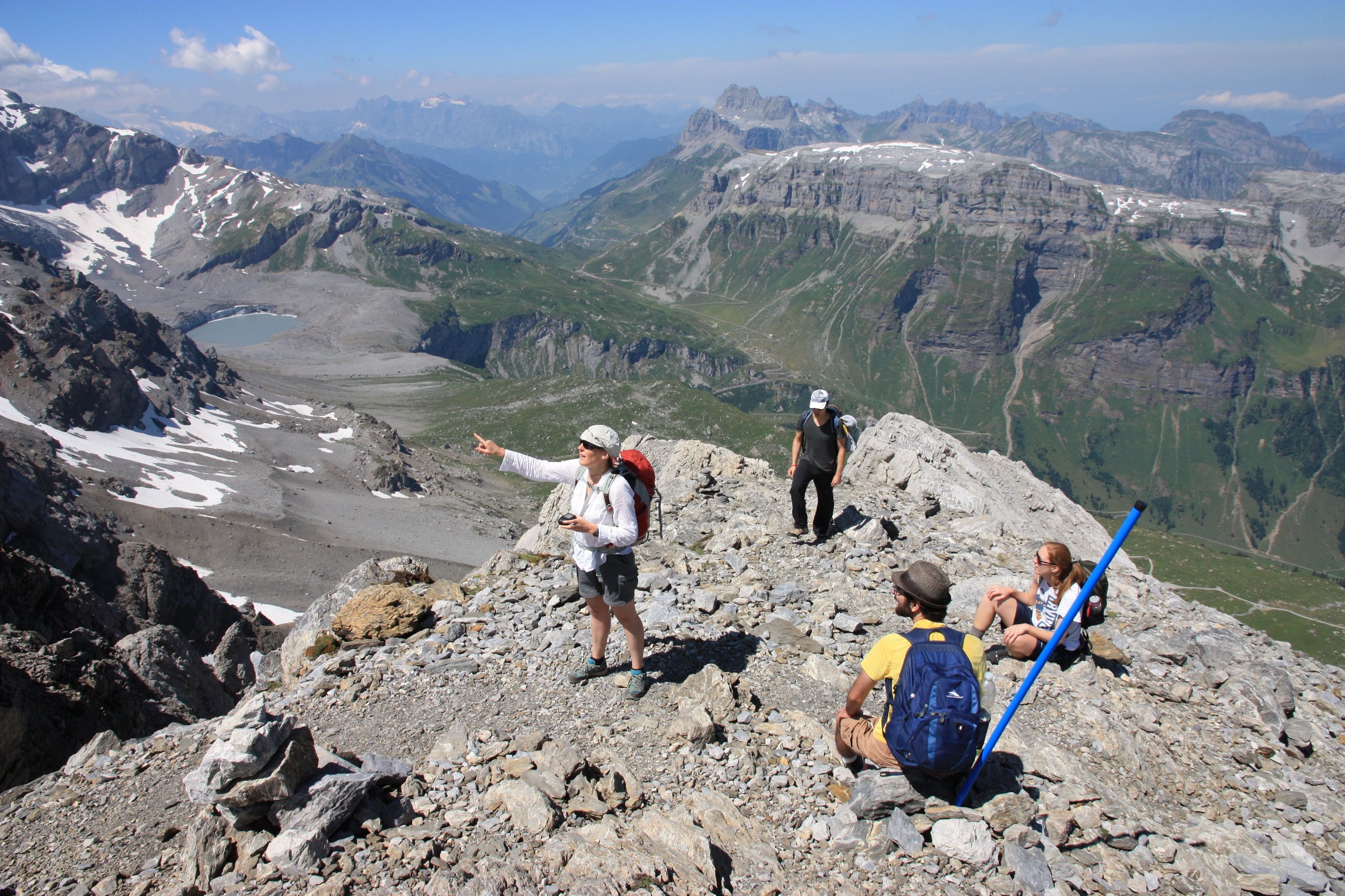
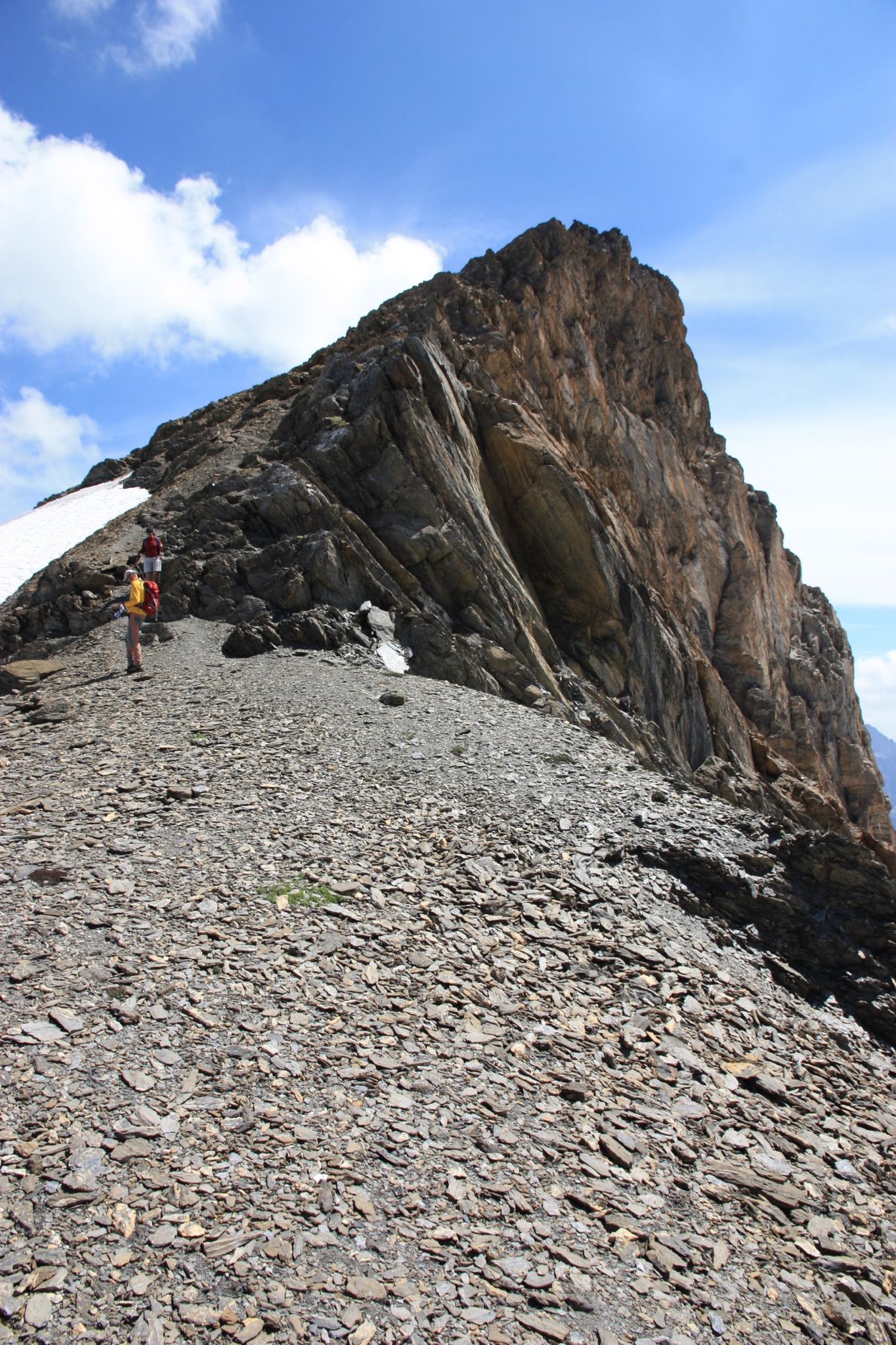
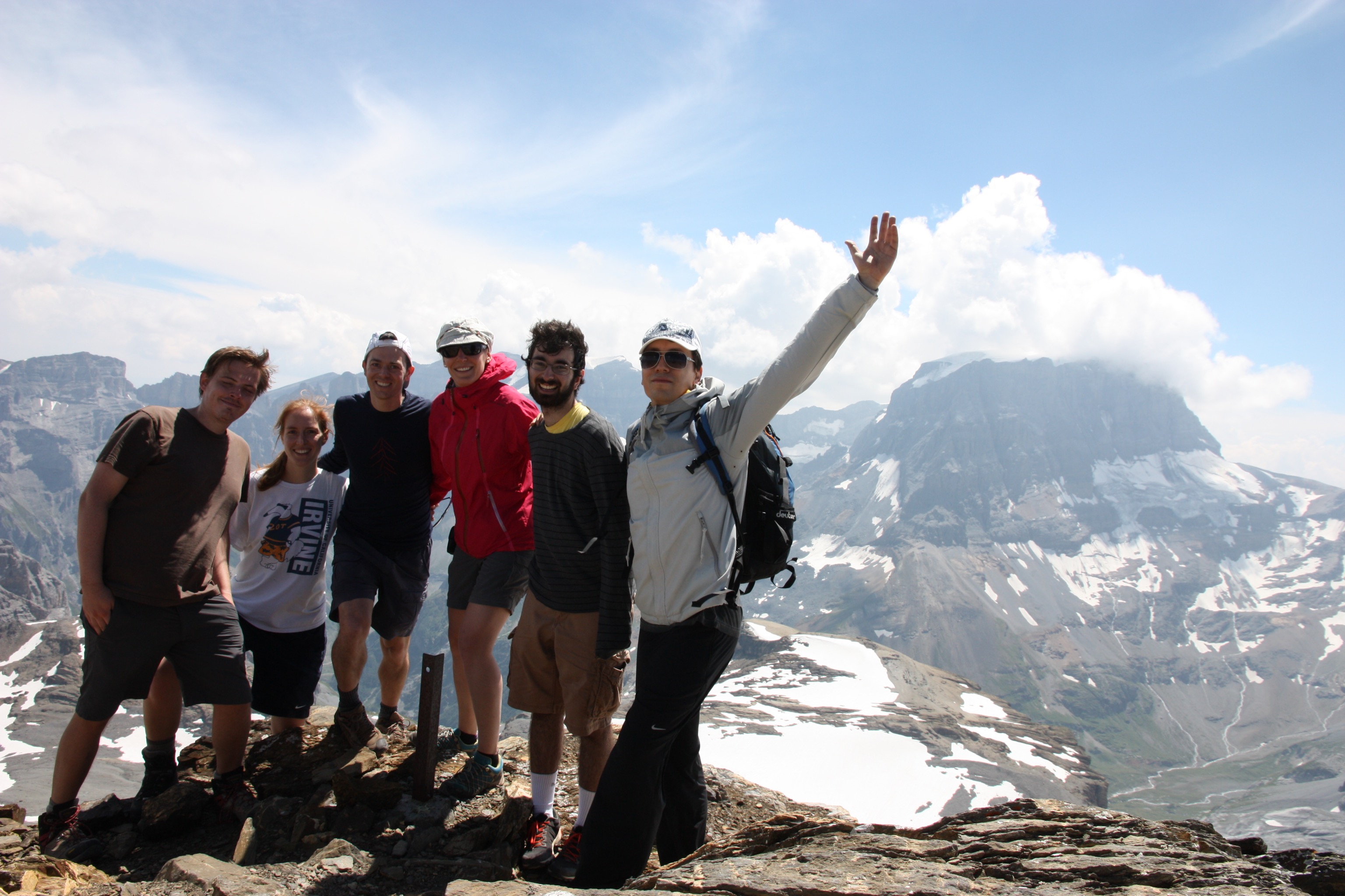
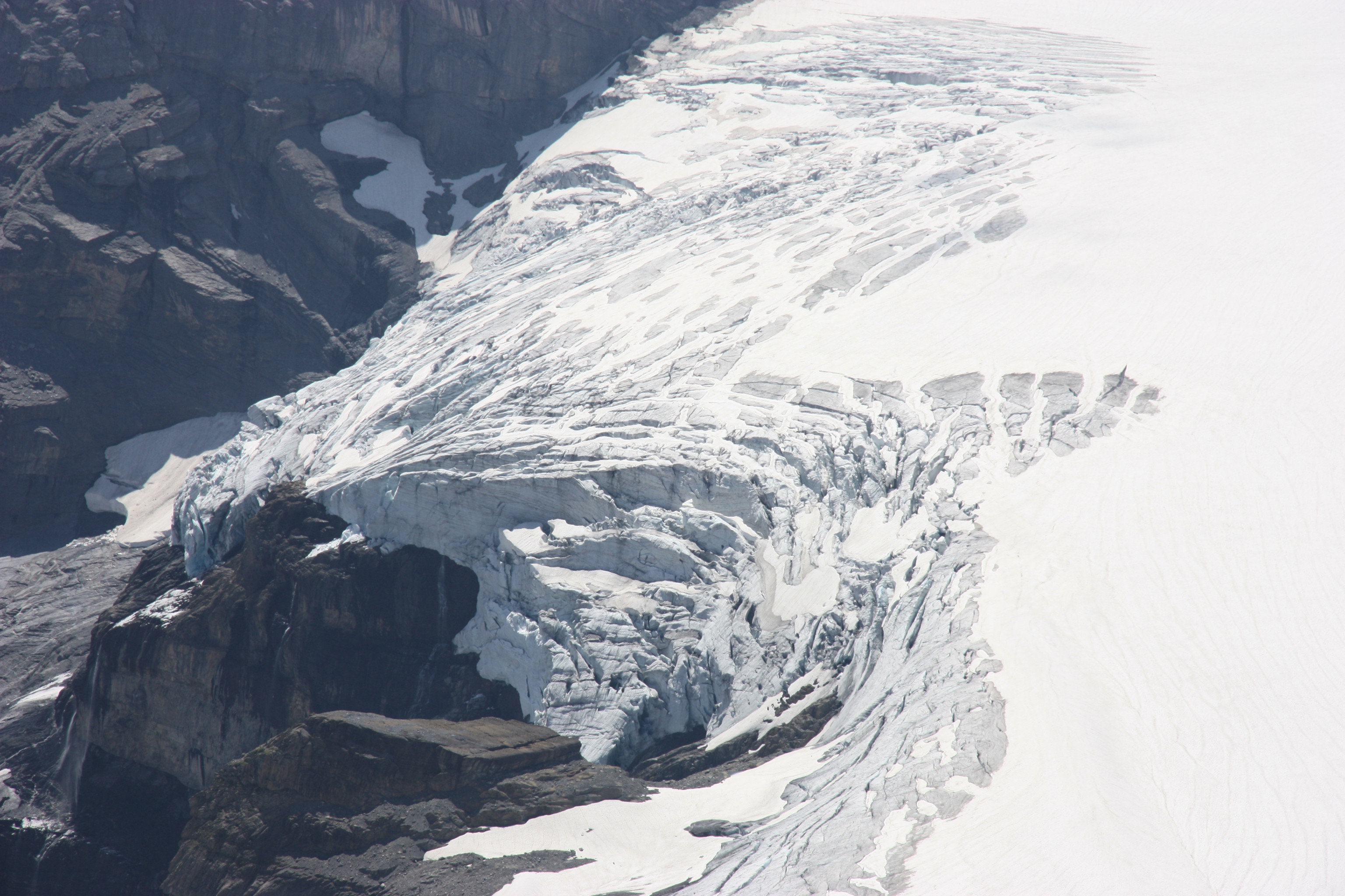
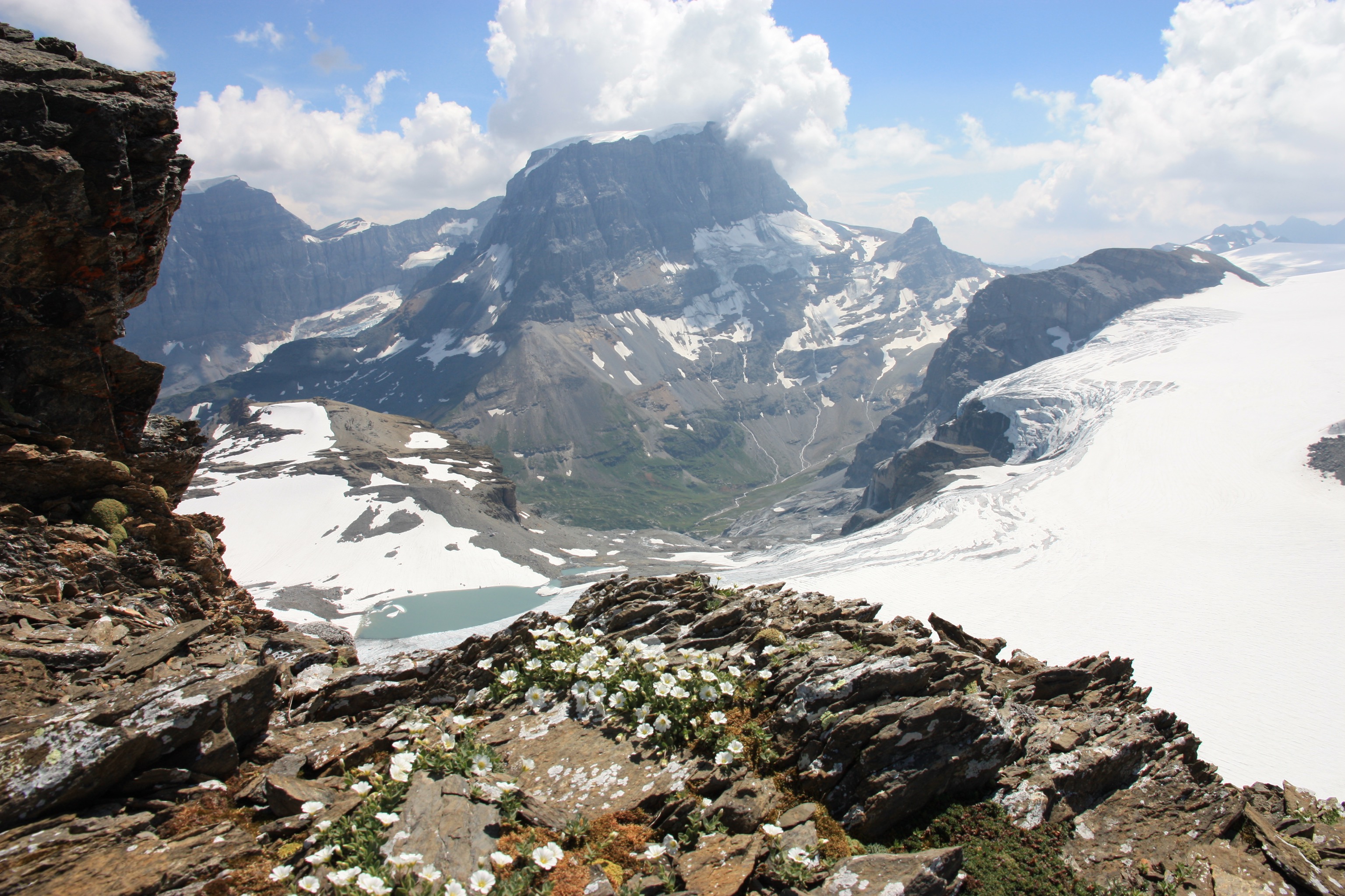
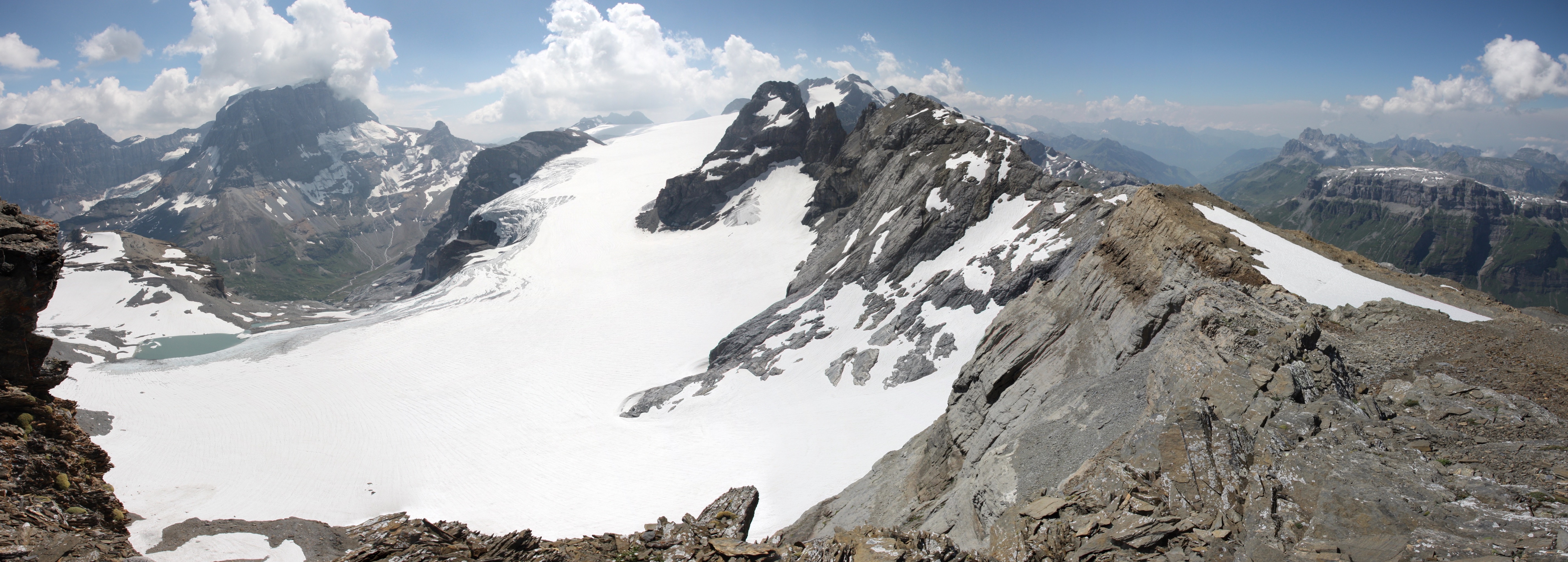
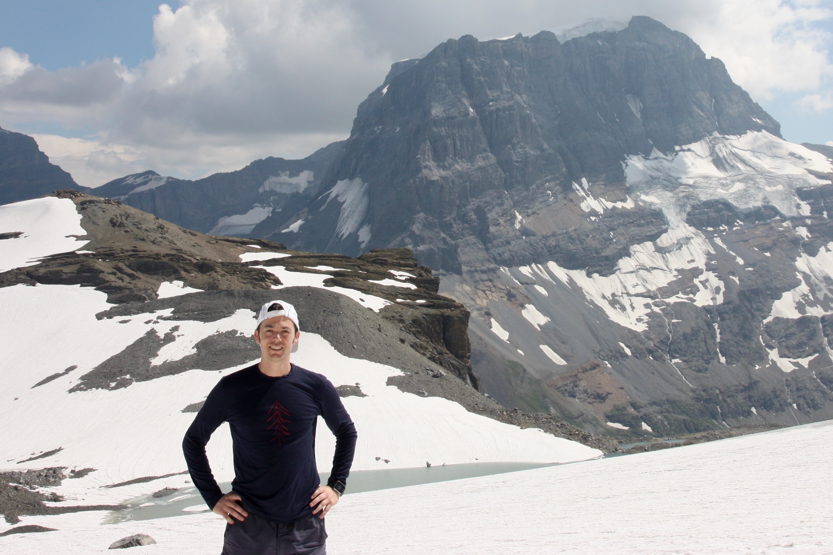
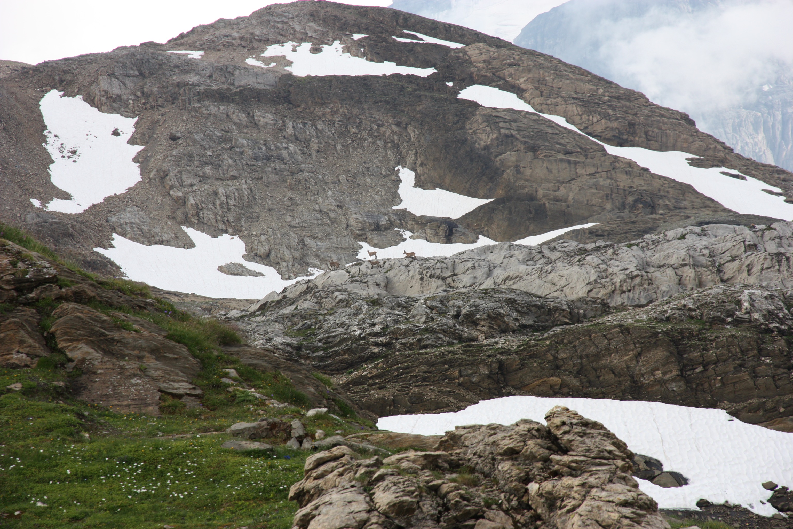
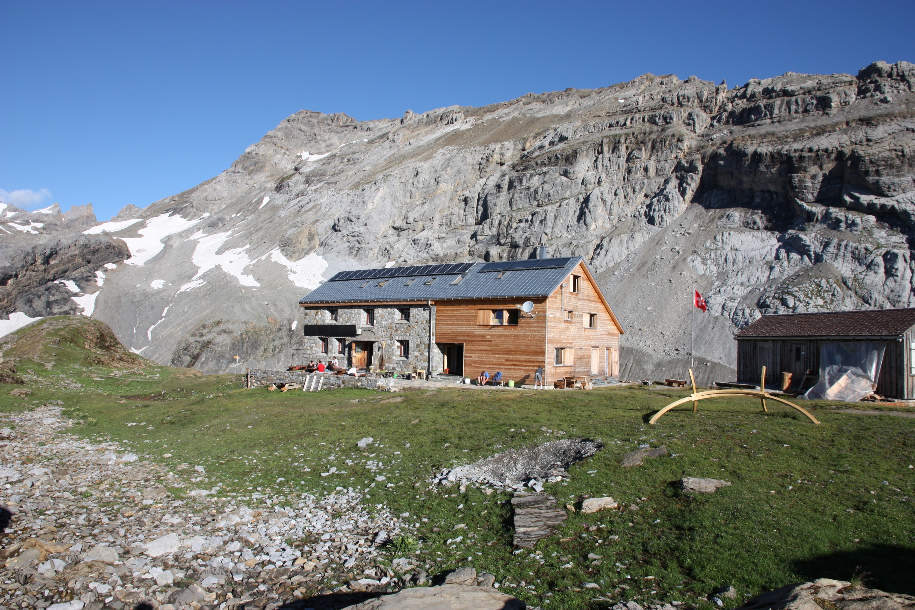
We started our two-day hike in the alp of Urnerboden.

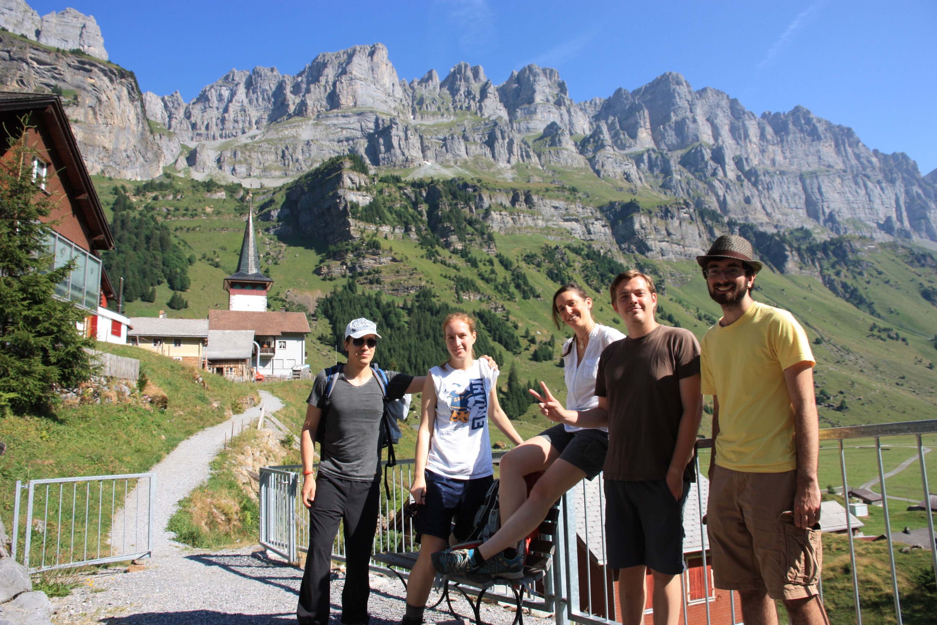
On the 24th July 2015 we set off on 2-day hike in the Glarus alps. The first day would end at Claridenhütte via the 2972m peak of Gemsfairenstock and the Claridenfirn glacier in the Glarus Alps of Switzerland. Here is a brief photo essay, as I haven’t had time to write this one up yet :)

A gorgeous day to climb a peak in the Glarus alps. The first part of the trail led us out of the urnerboden valley along the edge of an escarpment.
The alp Urnerboden lies down to the left looking back as we ascend a long ridge line up to the peak of Gemsfairenstock.
Tanja checks her GPS. Alexei says: the only way is up!
Looking up the final ridge climb to the peak of Gemsfairenstock.
On the peak of Gemsfairenstock (2972m). The Tödi (highest peak in the Glarus alps) is behind us.
Close up of the edge of the Claridenfirn glacier, taken from the nearby peak of Gemsfairenstock. This glacier has the been subject of the longest climatological study of mass balance of any glacier in the world (100 years)
A photo of the Tödi in the background (highest peak in Glarus alps) and Claridenfirn glacier from the ridge of Gemsfairenstock with alpine flowers in the foreground.
A panorama from the ridge below the peak of Gemsfairenstock. The distant mountain is Tödi (the highest mountain in the Glarus Alps). The large expanse of snow and ice in the centre is the Claridenfirn glacier (which has been subject to the longest continuous time series of mass balance measurements of any glacier in the world) and to the right in the distance is the Urnerboden valley where we started our hike in the morning.
Standing on the snowfield extension of the Claridenfirn glacier with the Tödi in the background, on the way to Claridenhütte.
A herd of alpine ibex (Capra ibex; females and juveniles) passing by the Claridenhütte in the late afternoon as we drink beers celebrating a beautiful day of alpine hiking.
Next morning and it is time to say goodbye to Claridenhütte.